المدة الزمنية 7:38
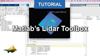
Visualize Point Cloud Topography in Matlab
تم نشره في 2023/03/16
Watch this video to learn how to load and visualize lidar point cloud topography using Matlab’s lasdata function. The Matlab script is available from OpenTopography’s GitHub page: https://github.com/OpenTopography/Visualize_Topography_Data_In_Matlab https://opentopography.org/ OpenTopography facilitates community access to high-resolution, Earth science-oriented topography data and related tools and resources
الفئة
عرض المزيد


تعليقات - 0
مقاطع الفيديو ذات الصلة على Visualize Point Cloud Topography in Matlab: